It was a little over a month ago that folks in Moose Jaw and throughout the Prairies were facing warnings of a polar vortex, with the potential for record-setting cold temperatures that were going to come with it.
And sure enough, that’s exactly what happened -- a total of five records for minimum temperatures fell in the span of nine days, including four on the Family Day weekend alone.
Now, we’re days away from potentially setting a whole new batch of temperature marks.
Only in the exact opposite direction.
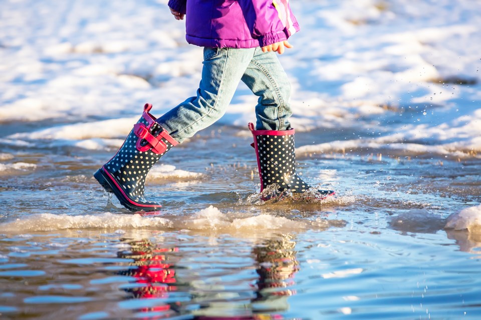
Environment Canada forecasts for Thursday, Mar. 4 through Saturday, Mar. 6 are predicted to be near plus-20 C, which would put all three days in range of setting new daily temperature highs.
The most likely record to fall will come on Thursday, where the predicted high of 16 C would break the old mark of 14.8 C set in 1987 (Environment Canada records go back to 1943).
The following day is also expected to hit 16 C, which would come close to the high of 18.6 C set during the same warm snap in ‘87. Finally, Saturday is expected to bring the warmest temperatures of the week at 17 C, a degree and a half lower than the 18.5 C high also set in 1987.
Temperatures are back into the high single digits early next week.
Normals for this time of year are a daytime high of -1 C and a low of -12 C. Lows all three days are expected to be around the freezing mark -- 0 C on Thursday, 3 C on Friday and -3 C on Saturday.


