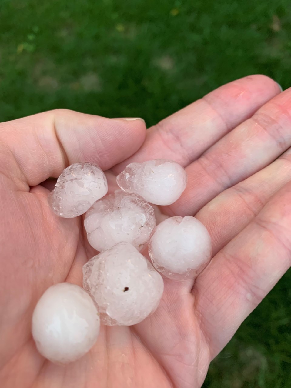
On Monday, August 23, Moose Jaw was hit with severe weather including wind, hail, lightning and tornado warnings.
According to Terri Lang, meteorologist with Environment and Climate Change Canada (ECCC), the Moose Jaw station received approximately 15.5 mm of rain, though one of their volunteers reported 25.4 mm. Lang explained that it largely depends on which part of the city is being measured.
One tornado has been confirmed south-west of Hodgeville, and ECCC is still looking into the possibility of other tornadoes in the area. So far none have been reported near Moose Jaw.
A severe thunderstorm watch was in effect throughout the early afternoon, and warnings went out as soon as forecasters were able to detect rotation in the clouds.
New radars installed across the country have made it easier to detect rotation, using dual-polarization. The relatively new technology also makes it easier to distinguish between raindrops, hailstones, snow and other particles, and provides data faster than the previous radars. These are all important factors in ensuring that Canadians are notified as far in advance as possible when severe weather is approaching.
Radisson was the first in Saskatchewan to implement dual-polarization technology, while the radar in Bethune was upgraded in 2019.
Lang explained that toward the end of summer, the likelihood of weather severe enough to produce tornadoes greatly decreases, but she can’t say with any certainty that there isn’t more to come this year.
“This season has been completely backwards and upside down,’ she said.


