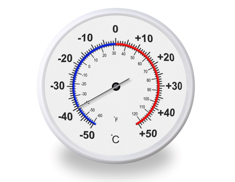
Now, as we enter the first of what promises to be more than a week of bitterly cold days followed by even frostier nights, it turns out they were exactly right.
And while temperatures aren’t predicted to break records just yet, the night-time lows for at least the next seven days are going to come awfully, awfully close.
Our first night under the vortex saw a low of -28.2 C, which came within two degrees of the low of -30.3 C set back in 1982, according to the Environment Canada website.
And in case you’re wondering, the record high for the same day was 10.7 C set back in 1991, not far off the 6.9 C we saw only three days ago this week. Normal temperatures for this time of year? Daytime high of -6.4 C, an overnight low of -16.7 C. Our high Friday afternoon barely cleared our regular low: -15.6 C
So, how do the rest of this week’s predicted overnight lows compare to the past?
Unfortunately, it’s going to be close to setting a new mark almost every night.
On Sunday, Feb. 7, it’s expected we’ll see the lowest temperature of the current cold snap, falling to -35 C. Interestingly enough, that was also the coldest night of a bitter stretch of cold in 1994, where the record of -39.1 C was set.
We’ll be closer to a record-setting night on Monday, Feb. 8, when -32 C is the expected low, compared to -35.6 in the same frigid snap of ‘94.
Tuesday, Feb. 9 could be the closest we come to a new record. The overnight low of -31 C will be within two degrees of the -32.8 C mark set in 1943, when Environment Canada first started recording record extremes for Moose Jaw.
Things will have to be quite a bit colder on Wednesday, Feb, 10 (-31 C compared to -35.6 C in 1988) to set a new mark, and Thursday, Feb. 11 will be a touch closer (-30 C compared to -33.3 in 1994).
Making things even tougher throughout the snap is we won’t be getting a break during the day -- highs aren’t expected to clear -22 C any time this week and -26 C is the high for Sunday, Monday and Thursday.
Predictions for the current cold snap expect it to last as long as two weeks, which would carry the frigid temperatures into the Feb. 20 weekend.
As always, temperatures will be exacerbated by the windchill, with the index expected to drop well into the -40 C range and possibly even touching -50 C or greater if winds pick up even slightly.
So be careful out there, Moose Jaw. Bundle up, make sure the vulnerable are watched and cared for, have a full tank of gas in your vehicle, bring your pets indoors. And be sure to watch Environment Canada for the latest alerts and forecasts.


