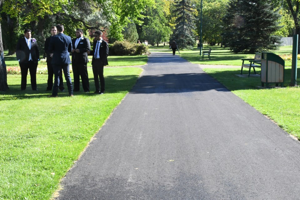
There are more than 70 kilometres of partly connected pathways and trails within Moose Jaw, but a new master plan will create a cohesive, destination-based network everyone can enjoy.
After nearly a year of work, the parks and recreation department presented the official trails and pathways master plan during city council’s Aug. 28 executive committee meeting.
The plan aims to establish a more integrated, safer and versatile trail and pathway system that caters to residents and visitors and allows for greater active transportation. Conversely, it does not seek to expand the network.
It also emphasizes enhancing connectivity and improved access to areas such as downtown, the hospital, Saskatchewan Polytechnic, high schools, the Yara Centre and 15 Wing Air Base.
Background
Parks and recreation hired contractor LEES + Associates in December 2022 to oversee the plan’s development. The firm held three stakeholder workshops, two staff workshops, conducted a survey that received 479 responses, held an open house that more than 50 people attended and acquired online feedback about the proposed recommendations.
From that, LEES + Associates produced a master plan with 17 recommendations to improve the overall system during the next 10 years. Short-term time frames include zero to five years, medium-term includes five to 10 years and long-term is more than 10 years.
Council approved a recommendation to accept the new trails and pathways master plan. The recommendation will become official once council approves it as a motion during a future regular meeting.
Recommendations
The 17 recommendations are contained within six categories.
Connectivity
1) Addressing gaps in the trail and pathway network (short- to long-term priority)
2) Providing improved connections for cyclists (medium-term)
3) Creating a long-distance continuous asphalt loop (medium-term)
4) Improving crossings (short- to medium-term)
Accessibility
5) Installing curb ramps on sidewalks that are part of the network
Safety
6) Establishing and applying a trail classification system and standards
Maintenance and amenity improvements
7) Focusing on priority routes for snow clearing (short-term)
8) Collaborating with different departments to develop a cohesive transportation network (short-term)
9) Working toward providing amenities based on trail standards
10) Installing labelled distances on select loops and routes to facilitate training and races (short-term)
11) Encouraging winter activities
Signage and wayfinding
12) Updating print and web-based trail maps and information (short-term)
13) Adding interpretive signs at main locations to celebrate heritage, ecology and environment
14) Establishing a consistent wayfinding sign strategy
15) Creating a “trail code of conduct” that provides etiquette and safety information for users
Monitoring and reporting
16) Creating a monitoring and reporting program for the system (short-term)
17) Monitoring the use of electric micro-mobility devices — such as e-scooters — and assessing the need for adjustments to bylaws, trail information and materials about their use on paths (short-term)
Council support
Coun. Crystal Froese supported the new plan and thought it contained great ideas.
“I do really appreciate how the maps are connecting our city and we are not creating brand new trails, but connecting existing ones we have, which is really good,” she said.
Froese was also pleased that parks and rec would pursue funding grants, especially since the estimated capital cost to complete all 17 recommendations was roughly $660,000. Moreover, she hoped the 2024 budget included money for some projects.
“Hopefully, the prices here won’t go up (any further),” she added.
City hall’s view
Derek Blais, director of parks and rec, said his team was satisfied with the master plan since it was how they envisioned it would be.
“We do get a number of inquiries throughout the year on different connection gaps and struggles people have with our existing pathway network,” he continued. “And a lot of the ones we hear a lot about, throughout this process (they) came up as top priorities.
“So it’s nice to see that the community feedback is reflected in this and we hope to make this a priority.”
Presentation
Patrick Beech, a landscape designer from Vancouver, explained how the engagement process went.
Through an assessment of current trails, comparisons against comparably sized communities, site visits and reviewing existing plans and policies, LEES + Associates acquired a better understanding of what Moose Jaw needed, he said.
Of the feedback the firm received, it learned that 89 per cent of respondents use the trails daily or once a week, 25 per cent regularly use the trail network to commute and 49 per cent use the network regularly in the winter, Beech continued.
Meanwhile, users’ top areas of concern included improving existing trails, adding new trail connections, improving ongoing maintenance, addressing off-leash dogs, and improving icy paths.
The next executive committee meeting is Monday, Sept. 11.
In response to some providers blocking access to Canadian news on their platforms, our website, MooseJawToday.com will continue to be your source for hyper-local Moose Jaw news. Bookmark MooseJawToday.com and sign up for our free online newsletter to read the latest local developments.


.png;w=120;h=80;mode=crop)