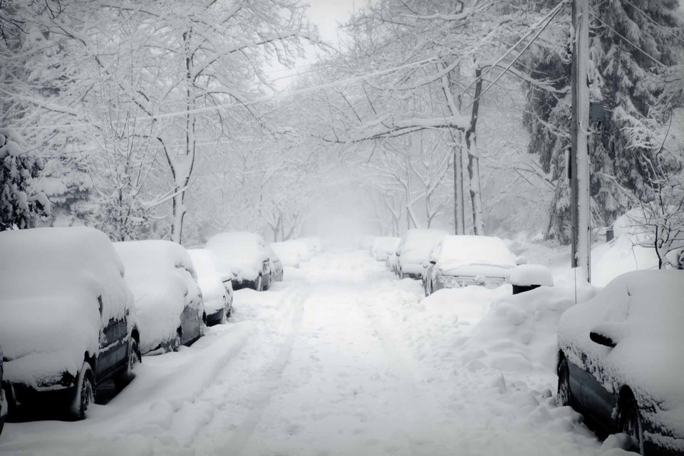
Environment Canada announced Saturday at 4 p.m. that Moose Jaw and surrounding communities are under a blizzard warning, meaning extreme weather conditions will happen in the region.
The storm will develop in the morning hours Sunday, with snow and ice pellet accumulations of 10 to 20 centimetres expected throughout the day. Winds will be northeast at 20 km/h gusting to 40 km/h in the early morning before turning from the north and increasing to 40 km/h gusting to 60 km/h. Those conditions will continue throughout the day.
That fits the criteria for a blizzard, which are 40 km/h winds or greater, visibility less than 400 metres and conditions lasting for four or more hours.
Temperatures will be mild, in the minus-8 C range, but windchills will push the feel to minus-10 in the morning and minus-18 in the afternoon.
Conditions will only worsen through the night.
A further 10 to 20 cm of snow will fall, leading to accumulations through the 24 hour period of 20 to 40 cm -- three-quarters of a foot to just over a foot -- before drifting. Winds will continue in the 40 to 60 km/h range, with a low of minus-9 and wind chill of minus-18.
Snowfall accumulations are expected to easily set new records for extremes, with 10.7 cm the greatest amount of snowfall on Nov. 8, 1995, and the most snow on the ground being 12 cm in 1993.
The storm will pass in the morning hours of Monday, but lighter snowfall will continue and the high will reach minus-7.
Click here for a look at last minute preparations and precautions and be sure to follow your favourite weather website for up-to-date information.


