The buzzing of insects, chirping of birds, swishing of the wind and crunching of gravel under our feet were the only sounds we heard while walking around Fort Walsh National Historic Site.
“It smells fresh out here,” I said to my friend, G, as we hiked the six-kilometre path around the venue, the early morning dew soaking our shoes. He grunted his agreement and kept marching, leading us over rolling hills that reached 1,180 feet above sea level.
It was Day 2 of The Great Saskatchewan Road Trip and my friend and I decided to visit the site after spending the first day in Maple Creek.
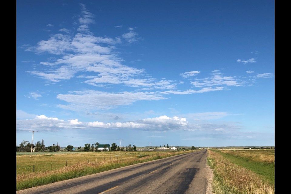
After leaving the second-largest community in southwest Saskatchewan, we took several secondary highways to reach the fort. As we drove, brown, furry gophers continually darted across the highways playing a deadly game of chicken with my car.
Most times, the lucky codgers escaped Scot-free, jumping on their hind legs afterward as if to mock me. Other times, a few critters ended up on their backs admiring the clouds.
Instead of driving through Cypress Hills Provincial Park, we took a secondary entrance that took us up a steep road with regular 180-degree hairpin turns, mountainous rock walls to one side and sharp drop-offs on the other.
A beautiful green oasis of hills and forest greeted us as we arrived. Since the visitors’ centre was still closed, we began our hike while following white signposts.
After the federal government created the North West Mounted Police (NWMP) in 1873 to keep peace in the newly acquired North West Territories, the first contingent of officers arrived by horse a few years later and constructed the fort.
The organization’s headquarters operated there from 1878 to 1882 before it was closed in 1883 and moved to Regina. Most remaining buildings burned to the ground years later because of a wildfire; the current fort is a re-creation.
The first part of the path was cut into a rocky hillside, which made walking across them tough and slippery. However, wildflowers of various colours — reds, pinks, purples, yellows, blues and whites — grew beside the pathway and made the view quite attractive.
“Good thing the mounted police had horses when they came this way,” I said to my friend as we stopped for a water break.
“It would have taken them a long while to get here on foot,” he agreed.
We crested a hill and saw a small valley where the infamous Cypress Hills Massacre occurred on June 1, 1873. American whiskey traders and wolf hunters attacked an Assiniboine camp and killed 20 men, women and children.
The second half of the trail was across brown scrubland with cracked, parched ground, while several hills towered over us. The path eventually turned into a steep ascent, so — being guys — we raced each other up it.
Arriving at the top, huffing and puffing, our legs burning, another beautiful vista of the valley greeted us. Catching our breath, we followed the path down into a forested area and to the fort.
Several teepees stood outside the fence. Inside, some re-created buildings included troop barracks, stables, woodworking and blacksmithing shops, and a weapons depot featuring a seven-pounder cannon and muskets and a weapons depot featuring a seven-pounder cannon and rifles.
Eventually, we walked back to the visitors’ centre. Along the way, we visited a cemetery with 49 crosses of community members and a special section commemorating the eight NWMP officers — all under age 25 — who died serving there.
Jumping into the car, we motored onto the next leg of our journey.


